Recently Indian Space Research Organisation (ISRO) launched GSAT 7A satellite from Sriharikota, Andhra Pradesh. This satellite is a communication satellite and Indian Air Force will use it for their use. This satellite completely belongs to IAF and help them to communicate. In 2013, ISRO launched GSAT 7 for Indian Navy that provides an uninterrupted communication for Indian Navy and modifying need of the present time they launched the same device upgraded version for IAF.
ISRO also launched GSAT 6 previously for the use of Central Forces of India ie. CRPF, CISF that were on duty at Naxal Affected areas or for normal communication. These types of Satellite enables the security forces to communicate with their bases without any interruption and all the information can be collected via a handheld device.
These type of satellite were normally termed as Communication Satellite but due to use of this satellite by a specific organization ie. Military Organisation, these were called Military Satellite.
Now all of the IAF bases will be in touch with the HeadQuarters and all the bases will be connected to all its assets near them or on some operational duty.
These type of satellite will help Armed forces in various functions such as:-
1) Communication Network
2) Precise Information
3) Launching of mission
and because of the precise network, it will be beneficial for
uninterrupted and necessary information that can be carried from various sources.
As Navy has more advance or vast area of duty, they required this information technology and that's why they got it first, as, during a war in an ocean, Ships has to keep their frequency low because they can't afford to be detected by enemy ships and because of that they can't communicate on higher frequency and that's why sometimes there is no communication between the ships and they kind of lost from the observing station on ground but after the launch of GSAT 7 in 2013, they can now communicate with each other without disclosing their location. These type of technology helps Armed Forces during Wartime and help them conduct their regular service in peacetime.
Similarly, for Air Force, they require connection with their Ground unit when they were in the sky and as now there is new Aircraft commisioning that can remain in the sky for a long time and require much better network connection with the HeadQuarters, of course, entry of the drones in the sky which in coming future will be armed required communication with the ground unit. Military Satellite provides a secure communication that is required when operating various operation during peacetime or wartime.
Although Armed Forces clarify that the Military Satellite is only a redundant layer of protection and communication as their primary source is still a terrestrial network.
on the other hand, Pakistan doesn't have a great investment in the space domain and yet is dependable on China but as we know China provided them all the resource they need for the use.
 |
| Credit: ABP News |
ISRO also launched GSAT 6 previously for the use of Central Forces of India ie. CRPF, CISF that were on duty at Naxal Affected areas or for normal communication. These types of Satellite enables the security forces to communicate with their bases without any interruption and all the information can be collected via a handheld device.
GSAT 7A
GSAT 7A will connect all the Assets of IAF and IAF now have a network-centric warfare capability.These type of satellite were normally termed as Communication Satellite but due to use of this satellite by a specific organization ie. Military Organisation, these were called Military Satellite.
Now all of the IAF bases will be in touch with the HeadQuarters and all the bases will be connected to all its assets near them or on some operational duty.
 |
| Credit: ISRO |
These type of satellite will help Armed forces in various functions such as:-
1) Communication Network
2) Precise Information
3) Launching of mission
and because of the precise network, it will be beneficial for
uninterrupted and necessary information that can be carried from various sources.
In term of security, What is the use of Communication Satellite
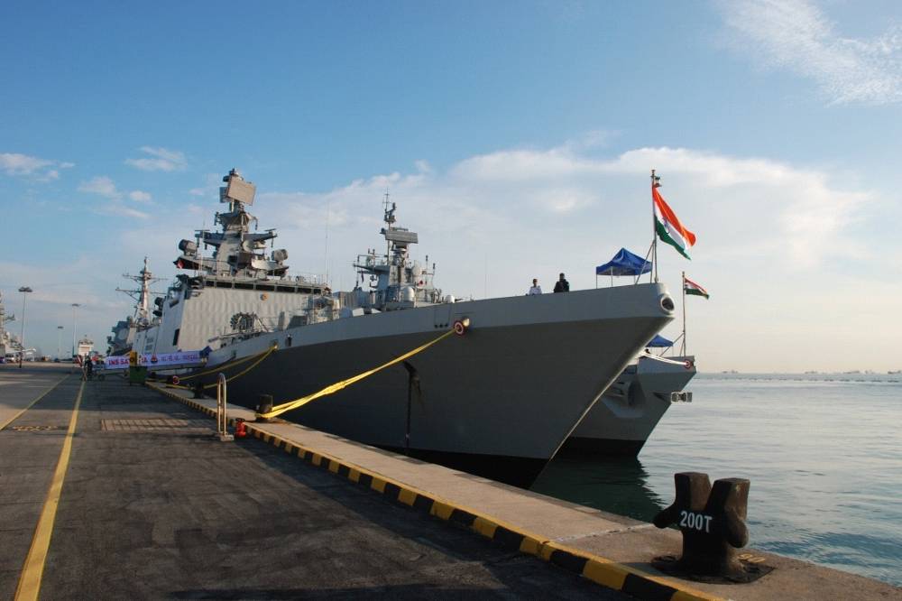 |
| Credit: Indian Navy |
Similarly, for Air Force, they require connection with their Ground unit when they were in the sky and as now there is new Aircraft commisioning that can remain in the sky for a long time and require much better network connection with the HeadQuarters, of course, entry of the drones in the sky which in coming future will be armed required communication with the ground unit. Military Satellite provides a secure communication that is required when operating various operation during peacetime or wartime.
 |
| Credit: indiawest.com |
Although Armed Forces clarify that the Military Satellite is only a redundant layer of protection and communication as their primary source is still a terrestrial network.
What does our neighbor have?
In comparison, if we see the stats of our most competitive neighbors (China and Pakistan), we can easily sub-divide both of them in different groups,
China: is having a great investment in the space domain as they are the 3rd country that sent human-occupied object in space.
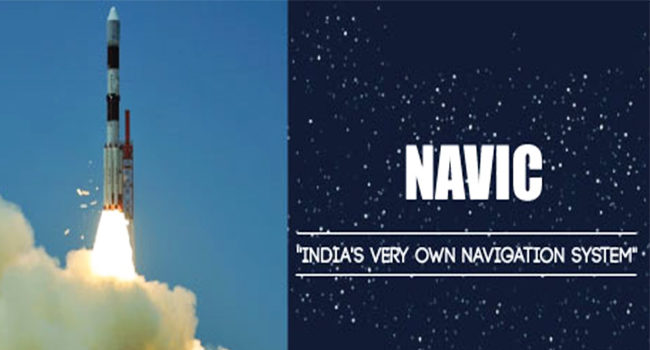
As India has their own developed Navigation System NAVIC they have BeiDou Navigation Satellite System (BDS) that is a comparatively better version than SAVIC.
 |
| Credit: Geospatial World |
As India has their own developed Navigation System NAVIC they have BeiDou Navigation Satellite System (BDS) that is a comparatively better version than SAVIC.
| Credit: Wikipedia |
But surely this organization is not about competition and this is the area where all country needs to be fulfilled and self-developed.
China is self-sufficient and is in no aim to fight a war against India as they have bigger aim and they are working on their system to achieve that.
On the other hand, Indian Scientist is working hard to make our nation self sufficient and our Armed Forces Independent and this is the first step on this.
During Surgical Strikes our forces use CartoSAT information that is precise to 2m from that far.
 |
| Credit: Newsweek |
Armed Forces need to protect our borders and for that, they require a continuous 24X7X365 precise information/inputs and because of the terrain, topographic structure and weather condition it is tough to collect and spread that information manually and that's why these Military Satellite are so useful.
Comments
Post a Comment